The World of LiDAR: A Sensor Revolution
Every so often, a technology emerges that not only improves existing systems but also reshapes the way we perceive the world. One such breakthrough is LiDAR, which stands for Light Detection and Ranging.
By essentially giving sight to machines with light beams, LiDAR changes the concept of raw environments into “smart” maps that a machine or an industry can use. The application of this sensor is going to go far beyond the autonomous vehicles and is making silent progress in different sectors like healthcare, logistics, and urban development. The result is not only innovation but also a revolution in the perception of the world, which is made possible by light.
You’ve Probably Already Benefited from LiDAR Today — Here’s How
If you have never heard of LiDAR, you may still benefit from it. This technology is present in almost every device and system we use throughout the day, and it has long made our lives easier, safer, and more efficient, though it often goes unnoticed.

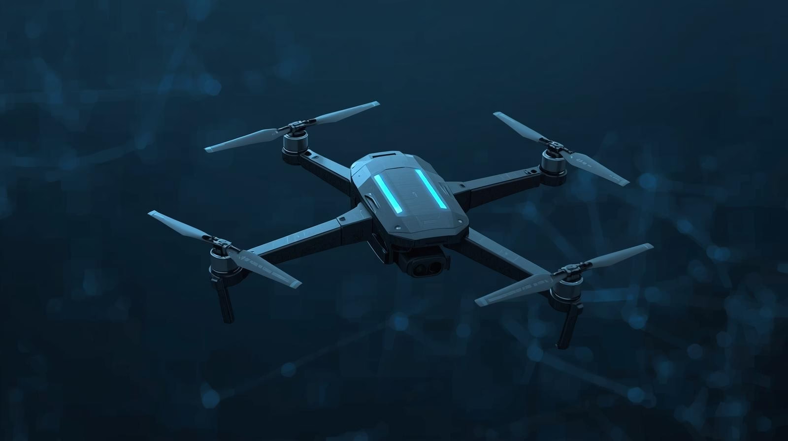
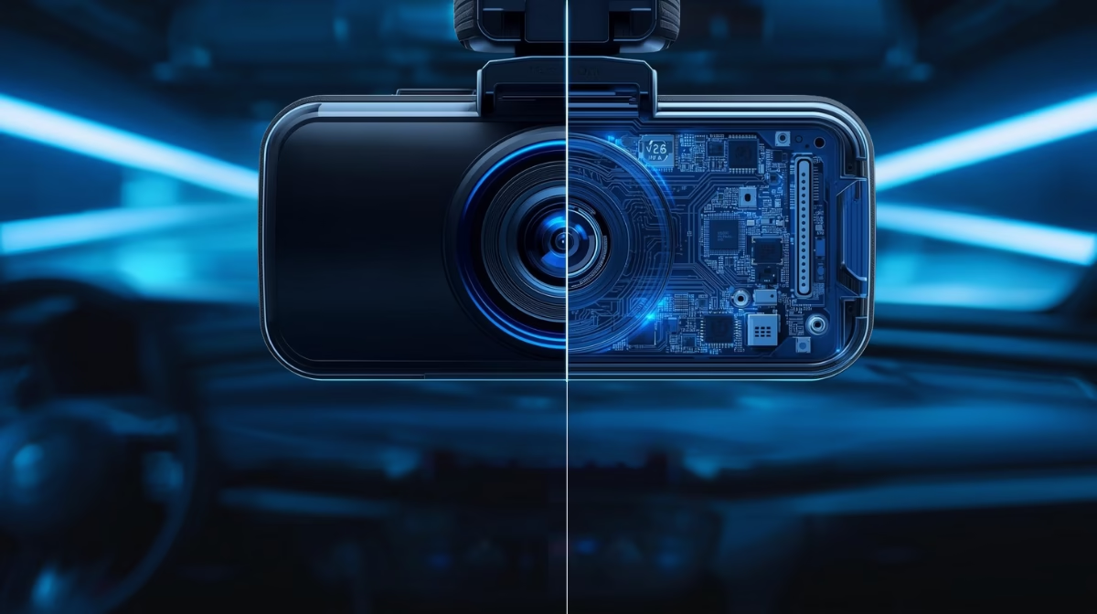
- In your car: Advanced driver-assistance systems and autonomous features have LiDAR as one of their main components, which allows them to see the presence of a barrier, a person, or the state of the road in real time.
- On your phone: One of the reasons why people now prefer smartphones is the use of LiDAR, which helps to improve facial recognition, power augmented reality (AR) applications, and enhance photography.
- In the city: LiDAR enables safer road design, efficient traffic systems, and smart infrastructure.
- In the environment: LiDAR-equipped drones are transforming forestry by monitoring crop health, can even fly over tricky terrains and take pictures that later can be analyzed to check for any kind of abnormality, and this is an important trend for the sustainable development of the world.
LiDAR’s influence is all over, from the road you drive on to the phone in your hand, but it is still quite difficult to spot. It is working behind the scenes, creating a new way of living in which life could be as efficient and safe as it is nowadays.
Light, Measured: The Elegant Science Behind LiDAR
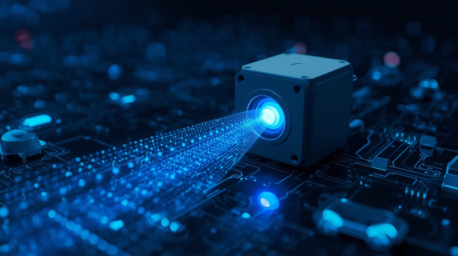
Fundamentally, LiDAR, a technology that is based on a straightforward concept: a laser pulse is emitted toward an object, the time it takes for it to reflect is measured, and the distance is calculated.
This technique, which is known as time-of-flight, allows the device to figure out a distance with amazing accuracy (usually to a few centimeters or even millimeters). If this process is carried out many times per second in a full 360-degree area, such calculations create an exact 3D depiction of the surrounding environment.
The Core Process
- Laser Emission: In this process, a sensor emits thousands to millions of near-infrared pulses per second.
- Surface Interaction: The beams strike objects like buildings, trees, or even moving cars.
- Signal Return: The sensor’s detector gets the light that was reflected from the object.
- Distance Calculation: The time of travel is measured, and from that, the distance to the object is calculated with an accuracy of one centimeter.
- Point Cloud Generation: The individual data points are combined to create a detailed 3D representation of the surroundings.
Why LiDAR Stands Apart?
LiDAR, unlike cameras, is independent of ambient light and can also work in the dark, strong sun, or even bad weather. When compared to radar, which has a long range but with low resolution, LiDAR gives a high-resolution 3D depth and contour map that is very helpful in the field of self-driving cars, robotics, and industrial automation.

Beyond Measurement
The modern LiDAR has capabilities that go beyond simple distance measurements. With smart software, it not only measures but can also determine object classes, detect land changes, or check the vitality of the forest.
This combination of exact hardware and AI-based analytics makes LiDAR “the eyes of machines”, giving a digital vision system that is superior to human vision in both quickness and accuracy.
The Sensor That’s Rewiring Industries
While LiDAR remains the star technology for self-driving cars, it is nonetheless a game-changer even in those environments where cars are not involved. The ability to capture precise, real-time 3D data has made it indispensable across diverse industries, from logistics and civil engineering to agriculture, environmental science, and even space exploration.
The way it can be applied in different fields is as follows:
Automotive & Transportation
- Autonomous Vehicles (AVs): 3D mapping with high-resolution and object detection that ensures a car can go on its own safely.
- ADAS: LiDAR solutions facilitate adaptive cruise control, automatic braking, and collision avoidance.
- Logistics: In warehouses and manufacturing plants, autonomous mobile robots (AMRs) and automated guided vehicles (AGVs) use LiDAR for reliable navigation and obstacle detection.
Geospatial & Civil Engineering
- Surveying & Mapping: Obtaining the required precise topographic maps and elevation models quickly.
- Construction: Progress can be monitored in real-time, design can be validated, and structural analysis facilitated.
- Urban Planning: Such models help in analyzing the traffic and people flow, besides the various environmental factors.
Agriculture & Forestry
- Precision Agriculture: LiDAR-equipped drones monitor crop density, plant health, and irrigation needs.
- Forestry Management: LiDAR helps capture canopy structure, tree height, biomass, and ecosystem health.
Environmental & Space Applications
- Space Exploration: NASA has employed LiDAR to map planetary surfaces like Mars and even measure snowfall in its thin atmosphere.
- Climate Monitoring: Observes changes in glaciers, measures coastal erosion, and identifies areas at risk of flooding.
- Archaeology: By point cloud data filtering, the discovery of naturally obstructed ruins is possible.
Busting 3 Myths About LiDAR
Though LiDAR is a ground-breaking innovation, it has been surrounded by misconceptions that have often overshadowed its full potential. Let’s clarify the facts
Myth 1: LiDAR is only for luxury cars
While LiDAR became known through autonomous vehicle prototypes and luxury cars, it is not restricted to luxury cars only anymore. LiDAR has become a standard feature in mid-range cars, public transportation, and various gadgets like smartphones. Besides transportation, the technology is greatly employed in sectors such as construction, logistics, and agriculture. No longer confined to luxurious vehicles, LiDAR is a common feature for safety, productivity, and creativity.
Myth 2: LiDAR is too expensive
Cost was once a major barrier, with early LiDAR systems priced in the tens of thousands of dollars. The prices have been greatly reduced through advances in manufacturing and solid-state technology. Nowadays, small LiDAR sensors are used in different fields such as urban planning and precision farming, thus making the technology available on a large scale and at a low cost.
Myth 3: LiDAR is just hardware
LiDAR is not only a combination of lasers and glass. The modern LiDAR systems combine precision optics with high-speed semiconductors and AI-driven algorithms that interpret point clouds in real time. As a result of this merger, LiDAR changes from being just a tool for measuring distances to an intelligent sensing system that can be of assistance in safe self-driving, robotics, and smart automation.
Behind the Beams: What It Takes to Build Smart LiDAR Systems
A LiDAR unit may be compact from the outside, but it is the use of advanced optics, electronics, and software that make up the intricate integration inside. These constituents, in symbiosis, convert light impulses into data that is feasible for machines to comprehend. The software then processes the raw data that the hardware has captured to generate a 3-D visualization of the surroundings.

Core Hardware Components
- Laser Transmitter and Optics: This unit emits laser pulses and uses optics to direct them; these may be as simple as diodes or VCSELs, the wavelength being the deciding factor of the range and performance.
- Receiver and Photodetector: For the reflected signals, very sensitive detectors are used, such as SPADs or SiPMs, which ensure that the devices are accurate and have a long range.
- Scanner and Ranging Engine: The laser beams are directed by spinning, MEMS, or flash LiDAR, and the distances are figured out by the time of pulse returns.
- Processing Subsystem: With CPUs, SoCs, or FPGAs, it changes millions of data points per second into 3D point clouds.
- Positioning and Navigation: GPS and IMUs give very accurate georeferencing for mobile applications.
Software Intelligence
- Point Cloud Cleaning and Filtering: Removes noise caused by atmospheric conditions or sensor errors.
- Classification and Segmentation: Machine learning identifies categories for points of objects such as cars, people, and the ground.
- Object Detection and Tracking: It measures the object size, location, and speed, which enables predictive modeling.
- Sensor Fusion: LiDAR is combined with radar, cameras, and GPS to deliver a strong environment model.
- AI Integration: Improves the detection process, predicts the movement, and allows the system to adjust to the complex situation that occurs.
The combination of software intelligence and hardware precision transforms LiDAR from a measuring instrument to a decision-making system.
Where It’s All Headed: The Future of Light-Based Vision
LiDAR is fast emerging from a niche technology into a mainstream enabler of innovation. Compact hardware advancement, allied with perception driven by AI, and integration with IoT and edge computing are boosting their applicability beyond the confines of autonomous vehicles. Smart cities, advanced robotics, environmental monitoring, and healthcare will benefit from LiDAR’s real-time, precise insights that cater to safety, efficiency, and sustainability.
In the future, LiDAR will move beyond seeing the world to understanding it, turning light into actionable data.
At Syrma SGS, we are committed to engineering the advanced electronics and system integration that fuel this evolution, helping businesses harness LiDAR’s potential to build a smarter, safer, and more connected future.
Disclaimer: Images used in this Blog are AI generated